پەڕگە:Palau location map.svg

پەڕگەی سەرەکی (پەڕگەی SVG، بە ناو ٥٢٠ × ٧٠٩ پیکسەڵ، قەبارەی پەڕگە: ٣٠ کیلۆبایت)
کورتە
| وەسف |
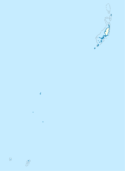
Deutsch: Positionskarte von Palau
Quadratische Plattkarte. Geographische Begrenzung der Karte:
English: Location map of Palau
Equirectangular projection. Geographic limits of the map:
|
|
| ڕێکەوت | ||
| سەرچاوە |
بەرھەمی خۆم, using
|
|
| بەرھەمھێنەر | NordNordWest | |
| ڕێپێدان (بەکارھێنانەوەی ئەم پەڕگەیە) |
This file is licensed under the Creative Commons Attribution-Share Alike 3.0 Germany license.
 This file is licensed under the Creative Commons Attribution-Share Alike 3.0 Germany license.
|
|
| وەشانەکانی تر |
|


_location_map.svg)

|
This map has been made or improved in the German Kartenwerkstatt (Map Lab). You can propose maps to improve as well.
|
مێژووی پەڕگە
کرتە بکە لەسەر یەکێک لە ڕێکەوت/کاتەکان بۆ بینینی پەڕگەکە بەو شێوەی لەو کاتەدا بووە.
| ڕێکەوت/کات | ھێما | ئەندازە | بەکارھێنەر | تێبینی | |
|---|---|---|---|---|---|
| هەنووکە | ١٦:٠٢، ١٤ی تشرینی دووەمی ٢٠٠٩ | | ٥٢٠ لە ٧٠٩ (٣٠ کیلۆبایت) | NordNordWest | == {{int:filedesc}} == {{Information |Description= {{de|Positionskarte von Palau}} Quadratische Plattkarte. Geographische Begrenzung der Karte: * N: 8.6° N * S: 2.6° N * W: 130.8° O * O: 135.2° O {{en|Location map of Palau} |
بەکارھێنانی پەڕگە
ئەم پەڕەیە ئەم پەڕگەیە بەکار دەھێنێت:
بەکارھێنانی سەرانسەریی پەڕگە
ئەم ویکیانەی دیکەی خوارەوەش ئەم پەڕگە بەکاردێنن:
- بەکارھێنان لە af.wikipedia.org
- بەکارھێنان لە an.wikipedia.org
- بەکارھێنان لە ar.wikipedia.org
- بەکارھێنان لە ast.wikipedia.org
- بەکارھێنان لە az.wikipedia.org
- بەکارھێنان لە bcl.wikipedia.org
- بەکارھێنان لە be-tarask.wikipedia.org
- بەکارھێنان لە be.wikipedia.org
- بەکارھێنان لە bg.wikipedia.org
- بەکارھێنان لە bn.wikipedia.org
- بەکارھێنان لە bs.wikipedia.org
- بەکارھێنان لە ceb.wikipedia.org
بینینی بەکارھێنانی گشتی زیاتری ئەم پەڕگەیە.