پەڕگە:Nepal location map.svg

Size of this PNG preview of this SVG file: ٨٠٠ لە ٤٧٦ پیکسەڵ. ڕێزەلووشنەکانی تر: ٣٢٠ لە ١٩٠ پیکسەڵ | ٦٤٠ لە ٣٨١ پیکسەڵ | ١٬٠٢٤ لە ٦٠٩ پیکسەڵ | ١٬٢٨٠ لە ٧٦٢ پیکسەڵ | ٢٬٥٦٠ لە ١٬٥٢٣ پیکسەڵ | ١٬٢٠٠ لە ٧١٤ پیکسەڵ.
پەڕگەی سەرەکی (پەڕگەی SVG، بە ناو ١٬٢٠٠ × ٧١٤ پیکسەڵ، قەبارەی پەڕگە: ٢٩٦ کیلۆبایت)
کورتە
| وەسف |
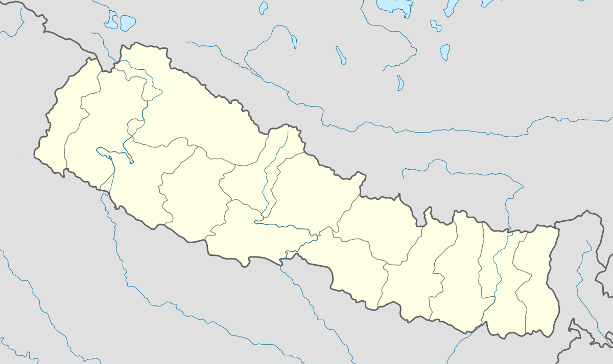
English: Location map of Nepal including the 14 administrative zones (outdated since 2015).
Equirectangular projection. Strechted by 113.0%. Geographic limits of the map: * N: 31.0° N * S: 26.0° N * W: 79.5° E * E: 89.0° EMade with Natural Earth. Free vector and raster map data @ naturalearthdata.com. |
| ڕێکەوت | |
| سەرچاوە | بەرھەمی خۆم |
| بەرھەمھێنەر | Uwe Dedering |
| وەشانەکانی تر |
|


مۆڵەتنامە
من، ھەڵگری مافی لەبەرگرتنەوەی ئەم بەرھەمە، لەژێر ئەم مۆڵەتنامەیانەدا بڵاوی دەکەمەوە:
ئەم پەڕگەیە لە ژێر مۆڵەتنامەی
Creative Commons Attribution-Share Alike 3.0 Unported دایە.
- تۆ ئازادی:
- بۆ بڵاکردنەوە – بۆ کۆپی کردن، دابەشکردن و دەستبەدەست ناردنی
- بۆ تێکەڵکردنەوە – بۆ سازاندنی کارەکە
- بەم مەرجانەی خوارەوە:
- دانەپاڵ – پێویستە باوەڕی گونجاو بدەیت، بەستەرێک بۆ مۆڵەتەکە دابین بکەیت و ئاماژە بەوە بکەیت کە ئایا گۆڕانکاری کراوە یان نا. دەتوانیت بە هەر شێوەیەکی گونجاو ئەوە بکەیت، بەڵام بە شێوەیەک نا کە وا دەربکەوێت کە مۆڵەتدەر پشتگیری تۆ یان بەکارهێنانەکەت بکات.
- بڵاوکردنەوەی گونجاو – ئەگەر لەسەر بنەمای ئەم کارە تێکەڵ، گۆڕان، یان ساز بکەی، پێویستە بەشدارییەکانت بە هەمان مۆڵەت یان هاوشێوەی مۆڵەتی ئەسڵی دابەش بکەی.

|
ڕێگەدراوە بە لەبەرگرتنەوە، دابەشکردن ھەروەھا/یان سازاندنی ئەم بەڵگەنامەیە لەژێر مەرجی مۆڵەتی GNU بۆ بەڵگەنامەی ئازاد، وەشانی ١.٢ یان ھەر وەشانێکی تری دواتر کە بڵاوکراوەتەوە لەلایەن دامەزراوەی بەرنامەی ئازاد، بەبێ ھیچ بەشێکی جیاواز، بەبێ نووسین لەسەر بەرگی پێشەوە و دواوەی. وێنەیەک لەمۆڵەتەکە لە بەشێکدا ھەیە کە ناوی مۆڵەتی GNU بۆ بەڵگەنامەی ئازادە. |
دەتوانی مۆڵەتنامەی دڵخوازت ھەڵبژێریت.
مێژووی پەڕگە
کرتە بکە لەسەر یەکێک لە ڕێکەوت/کاتەکان بۆ بینینی پەڕگەکە بەو شێوەی لەو کاتەدا بووە.
| ڕێکەوت/کات | ھێما | ئەندازە | بەکارھێنەر | تێبینی | |
|---|---|---|---|---|---|
| هەنووکە | ١٧:٤٦، ١٨ی شوباتی ٢٠١٠ | | ١٬٢٠٠ لە ٧١٤ (٢٩٦ کیلۆبایت) | Uwe Dedering | no disputed countries |
| ١٣:٠٥، ١٨ی شوباتی ٢٠١٠ |  | ١٬٢٠٠ لە ٧١٤ (٢٩٧ کیلۆبایت) | Uwe Dedering | {{Information |Description={{en|1=Location map of Nepal. Equirectangular projection. Strechted by 113.0%. Geographic limits of the map: * N: 31.0° N * S: 26.0° N * W: 79.5° E * E: 89.0° E Made with Natural Earth. Free vector and raster map data |
بەکارھێنانی پەڕگە
ئەم پەڕەیە ئەم پەڕگەیە بەکار دەھێنێت:
بەکارھێنانی سەرانسەریی پەڕگە
ئەم ویکیانەی دیکەی خوارەوەش ئەم پەڕگە بەکاردێنن:
- بەکارھێنان لە ar.wikipedia.org
- بەکارھێنان لە arz.wikipedia.org
- بەکارھێنان لە ast.wikipedia.org
- Everest
- Himalaya
- Makalu
- Kala Patthar
- Ama Dablam
- Cho Oyu
- Gokyo
- Namche Bazaar
- Nuptse
- Glaciar de Khumbu
- Lukla
- Katmandú
- Módulu:Mapa de llocalización/datos/Nepal
- Lhotse
- Dhaulagiri
- Manaslu
- Annapurna
- Módulu:Mapa de llocalización/datos/Nepal/usu
- Aeropuertu Tenzing-Hillary
- Aeropuertu de Bajhang
- Aeropuertu de baxura
- Aeropuertu de Bhadrapur
- Aeropuertu de Bharatpur
- Aeropuertu de Bhojpur
- Aeropuertu de Biratnagar
- بەکارھێنان لە azb.wikipedia.org
- بەکارھێنان لە ba.wikipedia.org
- بەکارھێنان لە be-tarask.wikipedia.org
- بەکارھێنان لە bn.wikipedia.org
- بەکارھێنان لە bpy.wikipedia.org
- بەکارھێنان لە ceb.wikipedia.org
- بەکارھێنان لە ce.wikipedia.org
- بەکارھێنان لە de.wikipedia.org
- بەکارھێنان لە dty.wikipedia.org
- بەکارھێنان لە el.wikipedia.org
بینینی بەکارھێنانی گشتی زیاتری ئەم پەڕگەیە.