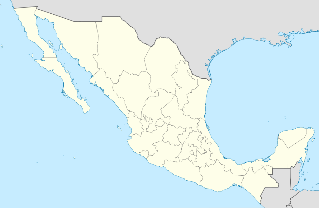
پەڕگە:Mexico States blank map.svg

Size of this PNG preview of this SVG file: ٨٠٠ لە ٥٢٣ پیکسەڵ. ڕێزەلووشنەکانی تر: ٣٢٠ لە ٢٠٩ پیکسەڵ | ٦٤٠ لە ٤١٨ پیکسەڵ | ١٬٠٢٤ لە ٦٦٩ پیکسەڵ | ١٬٢٨٠ لە ٨٣٧ پیکسەڵ | ٢٬٥٦٠ لە ١٬٦٧٣ پیکسەڵ | ٢٬٠٢٩ لە ١٬٣٢٦ پیکسەڵ.
پەڕگەی سەرەکی (پەڕگەی SVG، بە ناو ٢٬٠٢٩ × ١٬٣٢٦ پیکسەڵ، قەبارەی پەڕگە: ٤٧٣ کیلۆبایت)
Yolot hdz
کورتە
| وەسف | |
| ڕێکەوت | |
| سەرچاوە | Image:Mexico blank.svg by Yavidaxiu under licence GFDL. |
| بەرھەمھێنەر | Sémhur |
| وەشانەکانی تر |
Derivative works of this file: |
| Camera location | | View this and other nearby images on: OpenStreetMap |
|---|
W3C-validity not checked.
This W3C-unspecified vector image was created with Inkscape .
مۆڵەتنامە
من، ھەڵگری مافی لەبەرگرتنەوەی ئەم بەرھەمە، لەژێر ئەم مۆڵەتنامەیانەدا بڵاوی دەکەمەوە:
| Copyleft: This work of art is free; you can redistribute it and/or modify it according to terms of the Free Art License. You will find a specimen of this license on the Copyleft Attitude site as well as on other sites. |
This file is licensed under the Creative Commons Attribution-Share Alike 4.0 International, 3.0 Unported, 2.5 Generic, 2.0 Generic and 1.0 Generic license.
- تۆ ئازادی:
- بۆ بڵاکردنەوە – بۆ کۆپی کردن، دابەشکردن و دەستبەدەست ناردنی
- بۆ تێکەڵکردنەوە – بۆ سازاندنی کارەکە
- بەم مەرجانەی خوارەوە:
- دانەپاڵ – پێویستە باوەڕی گونجاو بدەیت، بەستەرێک بۆ مۆڵەتەکە دابین بکەیت و ئاماژە بەوە بکەیت کە ئایا گۆڕانکاری کراوە یان نا. دەتوانیت بە هەر شێوەیەکی گونجاو ئەوە بکەیت، بەڵام بە شێوەیەک نا کە وا دەربکەوێت کە مۆڵەتدەر پشتگیری تۆ یان بەکارهێنانەکەت بکات.
- بڵاوکردنەوەی گونجاو – ئەگەر لەسەر بنەمای ئەم کارە تێکەڵ، گۆڕان، یان ساز بکەی، پێویستە بەشدارییەکانت بە هەمان مۆڵەت یان هاوشێوەی مۆڵەتی ئەسڵی دابەش بکەی.
دەتوانی مۆڵەتنامەی دڵخوازت ھەڵبژێریت.
مێژووی پەڕگە
کرتە بکە لەسەر یەکێک لە ڕێکەوت/کاتەکان بۆ بینینی پەڕگەکە بەو شێوەی لەو کاتەدا بووە.
| ڕێکەوت/کات | ھێما | ئەندازە | بەکارھێنەر | تێبینی | |
|---|---|---|---|---|---|
| هەنووکە | ١٥:٤١، ١٣ی ئابی ٢٠١٠ | | ٢٬٠٢٩ لە ١٬٣٢٦ (٤٧٣ کیلۆبایت) | Kmusser | Try that again |
| ١٥:٤١، ١٣ی ئابی ٢٠١٠ |  | ٩٧٥ لە ٦٥٤ (٣٦١ کیلۆبایت) | Kmusser | change projection to match that used at File:Mexico location map.svg so should be more accurate for pushpins, also reverted Yucatan boundary change to match Mexican government maps. | |
| ١١:٥٨، ٢٥ی ئایاری ٢٠٠٩ |  | ٩٧٥ لە ٦٥٤ (٣٦١ کیلۆبایت) | Sémhur | Modify border south between Quintana Roo and Campeche | |
| ٠٨:٣١، ٢٤ی ئایاری ٢٠٠٩ |  | ٩٧٥ لە ٦٥٤ (٣٦١ کیلۆبایت) | Sémhur | Adding Yucatan states | |
| ١٢:٥٧، ٢٤ی ئەیلوولی ٢٠٠٨ |  | ٩٧٥ لە ٦٥٤ (٣٣٠ کیلۆبایت) | Sémhur | new try | |
| ١٢:٤٠، ٢٤ی ئەیلوولی ٢٠٠٨ |  | ٩٧٥ لە ٦٥٤ (٣٢٨ کیلۆبایت) | Sémhur | Thiner strokes | |
| ١٢:٣٧، ٢٤ی ئەیلوولی ٢٠٠٨ |  | ٩٧٥ لە ٦٥٤ (٣٢٨ کیلۆبایت) | Sémhur | {{Information |Description= {{en|Map of Mexico, with states borders.}} {{es|Mapa de Mexico, con los límites de los estados.}} {{fr|Carte du Mexique, avec les limites des états.}} |Source=Travail personnel / Own work. Source : * [[:Image:Mexico blank.sv |
بەکارھێنانی پەڕگە
ئەم پەڕەیە ئەم پەڕگەیە بەکار دەھێنێت:
بەکارھێنانی سەرانسەریی پەڕگە
ئەم ویکیانەی دیکەی خوارەوەش ئەم پەڕگە بەکاردێنن:
- بەکارھێنان لە af.wikipedia.org
- بەکارھێنان لە am.wikipedia.org
- بەکارھێنان لە ar.wikipedia.org
- بەکارھێنان لە ast.wikipedia.org
- بەکارھێنان لە azb.wikipedia.org
- بەکارھێنان لە ban.wikipedia.org
- بەکارھێنان لە bcl.wikipedia.org
- بەکارھێنان لە bn.wikipedia.org
- بەکارھێنان لە bs.wikipedia.org
- بەکارھێنان لە ca.wikipedia.org
بینینی بەکارھێنانی گشتی زیاتری ئەم پەڕگەیە.