پەڕگە:Daedelus comparison, remote sensing in precision farming (rotated).jpg
قەبارەی ئەم پێشبینینە: ٨٠٠ لە ٤٨٩ پیکسەڵ. ڕێزەلووشنەکانی تر: ٣٢٠ لە ١٩٦ پیکسەڵ | ٦٤٠ لە ٣٩١ پیکسەڵ | ٨٨٣ لە ٥٤٠ پیکسەڵ.
پەڕگەی سەرەکی (٨٨٣ × ٥٤٠ پیکسڵ، قەبارەی پەڕگە: ١٦٩ کیلۆبایت، جۆری ئێم ئای ئێم ئی: image/jpeg)
.jpg)
کورتە
| وەسف |
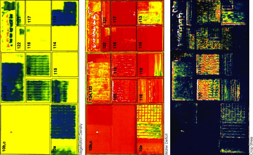
English: Rotated version of  |
| ڕێکەوت | |
| سەرچاوە |
|
| بەرھەمھێنەر | Susan Moran, Landsat 7 Science Team and USDA Agricultural Research Service (U.S. Government work) |
| وەشانەکانی تر |
|
مۆڵەتنامە
| This file is in the public domain in the United States because it was solely created by NASA. NASA copyright policy states that "NASA material is not protected by copyright unless noted". (See Template:PD-USGov, NASA copyright policy page or JPL Image Use Policy.) | ||
 |
Warnings:
|
مێژووی پەڕگە
کرتە بکە لەسەر یەکێک لە ڕێکەوت/کاتەکان بۆ بینینی پەڕگەکە بەو شێوەی لەو کاتەدا بووە.
| ڕێکەوت/کات | ھێما | ئەندازە | بەکارھێنەر | تێبینی | |
|---|---|---|---|---|---|
| هەنووکە | ١٢:٠٣، ١٦ی ئابی ٢٠١٢ | | ٨٨٣ لە ٥٤٠ (١٦٩ کیلۆبایت) | Tony Mach |
بەکارھێنانی پەڕگە
ئەم پەڕەیە ئەم پەڕگەیە بەکار دەھێنێت:
بەکارھێنانی سەرانسەریی پەڕگە
ئەم ویکیانەی دیکەی خوارەوەش ئەم پەڕگە بەکاردێنن:
- بەکارھێنان لە en.wikipedia.org
- بەکارھێنان لە fa.wikipedia.org
.jpg)