پەڕگە:Map of Great Barrier Reef Demis.png
قەبارەی ئەم پێشبینینە: ٥٣٥ لە ٥٩٩ پیکسەڵ. ڕێزەلووشنەکانی تر: ٢١٤ لە ٢٤٠ پیکسەڵ | ٤٢٩ لە ٤٨٠ پیکسەڵ | ٩٤٥ لە ١٬٠٥٨ پیکسەڵ.
پەڕگەی سەرەکی (٩٤٥ × ١٬٠٥٨ پیکسڵ، قەبارەی پەڕگە: ٢٠٠ کیلۆبایت، جۆری ئێم ئای ئێم ئی: image/png)
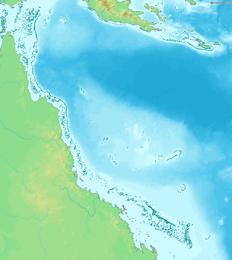
Map of Great Barrier Reef.
Bounding box West 142°, South -23°, East 155°, North -9°. Center at 16°00′00″S 148°30′00″E / 16.00000°S 148.50000°E.
This image is in the public domain because it came from the site https://www.demis.nl/products/web-map-server/examples/ and was released by the copyright holder. Permission is granted to copy, distribute and/or modify this map since it is based on free of copyright images from: www.demis.nl. See also approval email on de.wp and its clarification.
|
| This work has been released into the public domain by its copyright holder, www.demis.nl. This applies worldwide. لە ھەندێ وڵاتدا لەوانەیە یاسا، ڕێگە بەمە نەدات؛ لەو کاتەدا: www.demis.nl مافی بەکارھێنانی ئەم بەرھەمە بۆ ھەر مەبەستێک دەبەخشێ بە ھەموو کەسێک، بێ ھیچ مەرجێک، مەگەر ئەو چەشنە مەرجانە کە یاسا ھەبوونیانی بە پێویستی بزانێت.
|
مێژووی پەڕگە
کرتە بکە لەسەر یەکێک لە ڕێکەوت/کاتەکان بۆ بینینی پەڕگەکە بەو شێوەی لەو کاتەدا بووە.
| ڕێکەوت/کات | ھێما | ئەندازە | بەکارھێنەر | تێبینی | |
|---|---|---|---|---|---|
| هەنووکە | ١٦:١١، ٢٠ی کانوونی یەکەمی ٢٠٠٦ | | ٩٤٥ لە ١٬٠٥٨ (٢٠٠ کیلۆبایت) | Mats Halldin~commonswiki | Map of Great Barrier Reef. Bounding box West 142°, South -23°, East 155°, North -9°. Center at {{coor d|16.00000|S|148.50000|E|scale:8400000}}. {{demis-pd}} Category:Maps of Australia |
بەکارھێنانی پەڕگە
ئەم پەڕەیە ئەم پەڕگەیە بەکار دەھێنێت:
بەکارھێنانی سەرانسەریی پەڕگە
ئەم ویکیانەی دیکەی خوارەوەش ئەم پەڕگە بەکاردێنن:
- بەکارھێنان لە af.wikipedia.org
- بەکارھێنان لە am.wikipedia.org
- بەکارھێنان لە ar.wikipedia.org
- بەکارھێنان لە as.wikipedia.org
- بەکارھێنان لە bn.wikipedia.org
- بەکارھێنان لە br.wikipedia.org
- بەکارھێنان لە bs.wikipedia.org
- بەکارھێنان لە en.wikipedia.org
- بەکارھێنان لە es.wikipedia.org
- بەکارھێنان لە fiu-vro.wikipedia.org
- بەکارھێنان لە fo.wikipedia.org
- بەکارھێنان لە fr.wikipedia.org
- بەکارھێنان لە gan.wikipedia.org
- بەکارھێنان لە he.wikipedia.org
- بەکارھێنان لە id.wikipedia.org
- بەکارھێنان لە ja.wikipedia.org
- بەکارھێنان لە jv.wikipedia.org
- بەکارھێنان لە ka.wikipedia.org
- بەکارھێنان لە kn.wikipedia.org
- بەکارھێنان لە la.wikipedia.org
- بەکارھێنان لە mai.wikipedia.org
- بەکارھێنان لە mk.wikipedia.org
- بەکارھێنان لە ml.wikipedia.org
- بەکارھێنان لە mr.wikipedia.org
- بەکارھێنان لە ms.wikipedia.org
- بەکارھێنان لە ne.wikipedia.org
- بەکارھێنان لە new.wikipedia.org
- بەکارھێنان لە oc.wikipedia.org
- بەکارھێنان لە pnb.wikipedia.org
- بەکارھێنان لە sah.wikipedia.org
- بەکارھێنان لە sh.wikipedia.org
- بەکارھێنان لە sk.wikipedia.org
- بەکارھێنان لە ta.wikipedia.org
- بەکارھێنان لە th.wikipedia.org
- بەکارھێنان لە ur.wikipedia.org
- بەکارھێنان لە vep.wikipedia.org
- بەکارھێنان لە xmf.wikipedia.org
- بەکارھێنان لە yi.wikipedia.org