پەڕگە:LocationOceans.png
قەبارەی ئەم پێشبینینە: ٨٠٠ لە ٤٠٧ پیکسەڵ. ڕێزەلووشنەکانی تر: ٣٢٠ لە ١٦٣ پیکسەڵ | ٦٤٠ لە ٣٢٦ پیکسەڵ | ١٬٠٢٤ لە ٥٢١ پیکسەڵ | ١٬٢٨٠ لە ٦٥١ پیکسەڵ | ٢٬٧٥٩ لە ١٬٤٠٤ پیکسەڵ.
پەڕگەی سەرەکی (٢٬٧٥٩ × ١٬٤٠٤ پیکسڵ، قەبارەی پەڕگە: ٥٥ کیلۆبایت، جۆری ئێم ئای ئێم ئی: image/png)

|
This locator map image could be re-created using vector graphics as an SVG file. This has several advantages; see Commons:Media for cleanup for more information. If an SVG form of this image is available, please upload it and afterwards replace this template with
{{vector version available|new image name}}.
It is recommended to name the SVG file “LocationOceans.svg”—then the template Vector version available (or Vva) does not need the new image name parameter. |
کورتە
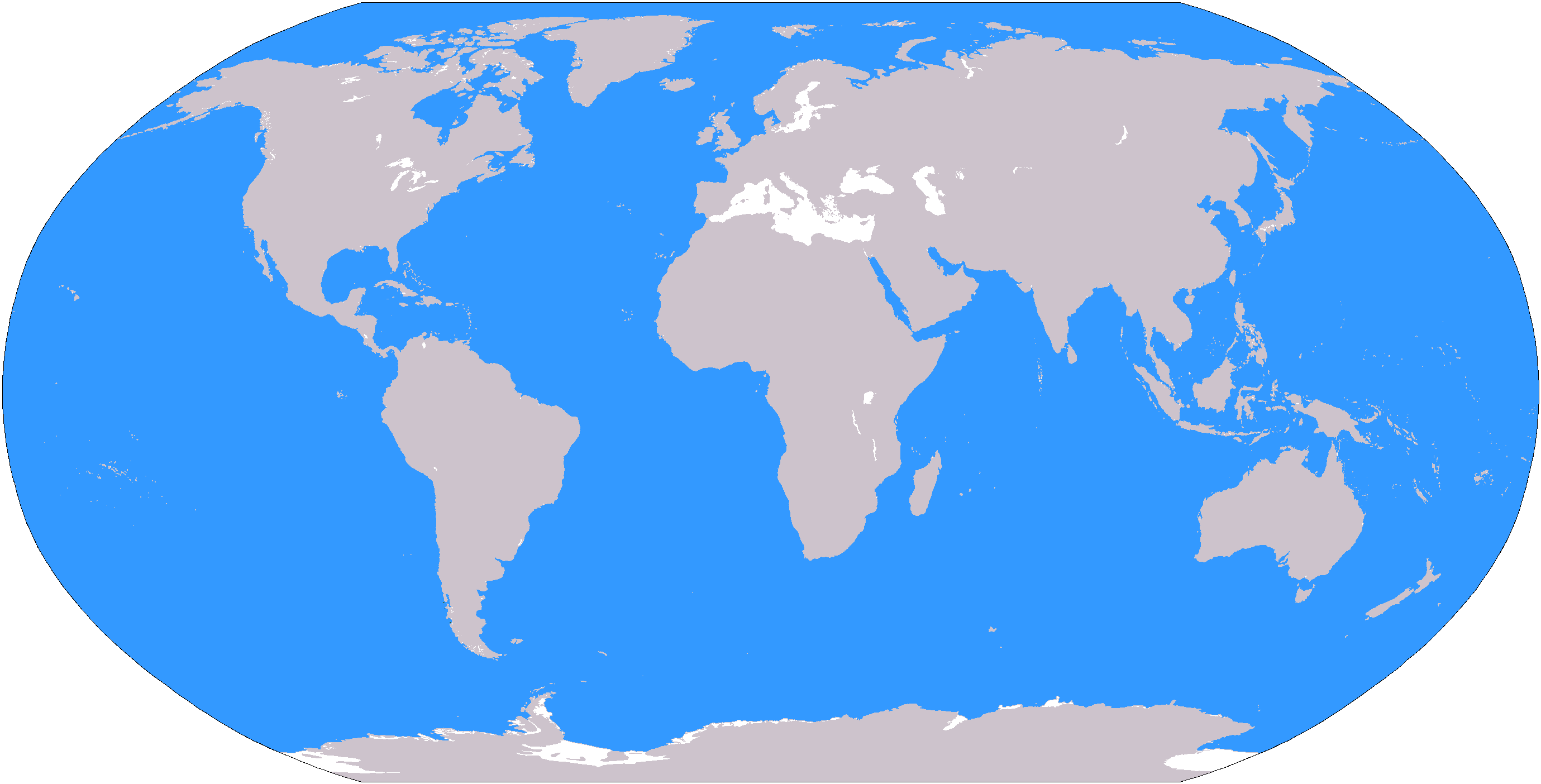
The large plain-grey Image:LocationWorld.png map modified to show oceanic areas in blue.
مۆڵەتنامە
This image is in the public domain because it contains materials that originally came from the United States Central Intelligence Agency's World Factbook.
|
 |
مێژووی پەڕگە
کرتە بکە لەسەر یەکێک لە ڕێکەوت/کاتەکان بۆ بینینی پەڕگەکە بەو شێوەی لەو کاتەدا بووە.
| ڕێکەوت/کات | ھێما | ئەندازە | بەکارھێنەر | تێبینی | |
|---|---|---|---|---|---|
| هەنووکە | ١٩:٢٦، ٨ی ئازاری ٢٠٠٦ | | ٢٬٧٥٩ لە ١٬٤٠٤ (٥٥ کیلۆبایت) | David Kernow~commonswiki | The large plain-grey Image:LocationWorld.png map modified to show oceanic areas in blue. |
بەکارھێنانی پەڕگە
ئەم پەڕەی 22ە ئەم پەڕگەیە بەکار دەھێنێت:
- ئاسیای ناوەندی
- ئەفریقای ناوەندی
- ئەمریکای باشوور
- ئەمریکای لاتینی
- ئەمریکای ناوەندی
- ئەورووپای باکوور
- ئەورووپای ناوەندی
- ئەورووپای ڕۆژھەڵات
- باشووری ئاسیا
- باشووری ئەفریقا
- باشووری ڕۆژھەڵاتی ئاسیا
- باکووری ئاسیا
- مەشریقی عەرەبی
- ڕۆژاوای ئاسیا
- ڕۆژاوای ئەفریقا
- ڕۆژھەڵاتی ئاسیا
- ڕۆژھەڵاتی ئەفریقا
- ڕۆژھەڵاتی ناوین
- کاریبی
- ھیندۆکوش
- داڕێژە:ناوچەکانی جیھان
- پۆل:ھەرێمەکانی ئەمریکاکان
بەکارھێنانی سەرانسەریی پەڕگە
ئەم ویکیانەی دیکەی خوارەوەش ئەم پەڕگە بەکاردێنن:
- بەکارھێنان لە af.wikipedia.org
- Australasië
- Midde-Ooste
- Sentraal-Amerika
- Atlantiese Oseaan
- Suider-Afrika
- Indiese Oseaan
- Suidelike Oseaan
- Arktiese Oseaan
- Stille Oseaan
- Latyns-Amerika
- Oos-Asië
- Sjabloon:Gebiede van die wêreld
- Noord-Europa
- Melanesië
- Mikronesië
- Polinesië
- Oos-Afrika
- Wes-Afrika
- Noord-Afrika
- Oos-Europa
- Verre Ooste
- Sentraal-Afrika
- Afrika suid van die Sahara
- Seelandië
- Noordpoolgebied
- Karibiese gebied
- Indiese subkontinent
- Suidoos-Asië
- Wes-Asië
- Wes-Europa
- Suid-Europa
- Suid-Asië
- Sentraal-Asië
- Sentraal-Europa
- Suidoos-Europa
- Noord-Asië
- بەکارھێنان لە ar.wikipedia.org
بینینی بەکارھێنانی گشتی زیاتری ئەم پەڕگەیە.