پەڕگە:Inmates Orleans Parish Prison.jpg
پەڕگەی سەرەکی (٢٬٦٤٠ × ١٬٩٨٠ پیکسڵ، قەبارەی پەڕگە: ١٬٠١٣ کیلۆبایت، جۆری ئێم ئای ئێم ئی: image/jpeg)
| وەسف |
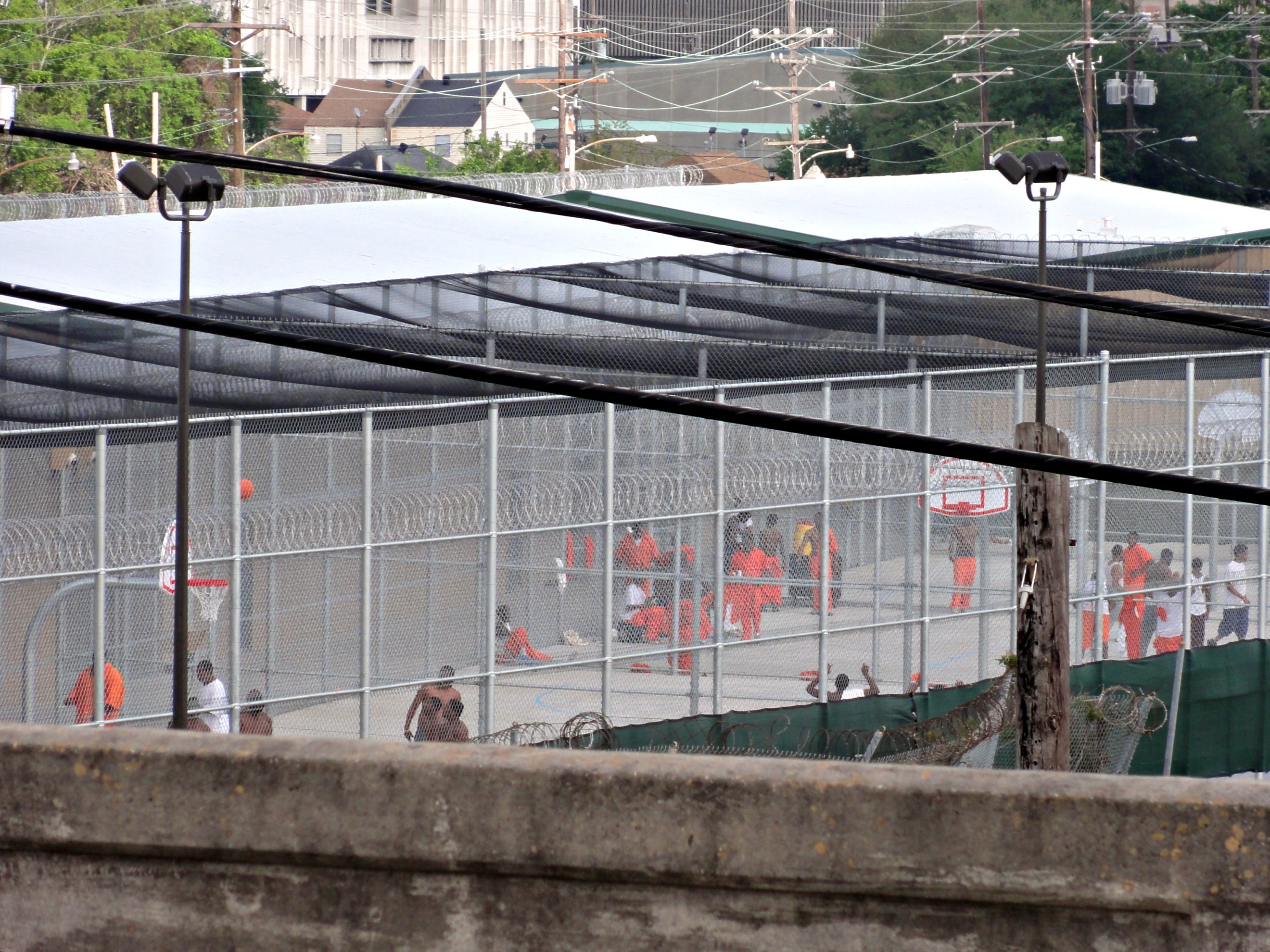
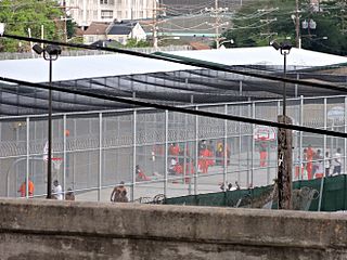
New Orleans. In all my years crossing the Jeff Davis overpass, which overlooks the Orleans Parish Prison, I don't think I've ever before noticed inmates in the yard. What's up with that? Did you know Louisiana incarcerates more adults per capita than any other state in the nation? And given that the US has the highest incarceration rate in the world, that means we lock up a lot of our people. If you'd have asked me last week, I would have said I suspected that Orleans Parish has the highest incarceration rate in the state. But I recently read it's St. Tammany parish, where the incarceration rate is approaching 1%. You can't really ignore the racial dimension of mass incarceration. According to Michelle Alexander, the United States "imprisons a larger percentage of its black population than South Africa did at the height of apartheid." |
||
| ڕێکەوت | |||
| سەرچاوە | Flickr: Inmates | ||
| بەرھەمھێنەر | Bart Everson | ||
| ڕێپێدان (بەکارھێنانەوەی ئەم پەڕگەیە) |
This file is licensed under the Creative Commons Attribution 2.0 Generic license.
|
| Camera location | | View this and other nearby images on: OpenStreetMap |
|---|
مێژووی پەڕگە
کرتە بکە لەسەر یەکێک لە ڕێکەوت/کاتەکان بۆ بینینی پەڕگەکە بەو شێوەی لەو کاتەدا بووە.
| ڕێکەوت/کات | ھێما | ئەندازە | بەکارھێنەر | تێبینی | |
|---|---|---|---|---|---|
| هەنووکە | ٠٢:١٤، ٦ی نیسانی ٢٠١٢ | | ٢٬٦٤٠ لە ١٬٩٨٠ (١٬٠١٣ کیلۆبایت) | Flickr upload bot | Uploaded from http://flickr.com/photo/11018968@N00/6901586544 using Flickr upload bot |
بەکارھێنانی پەڕگە
ئەم پەڕەیە ئەم پەڕگەیە بەکار دەھێنێت:
بەکارھێنانی سەرانسەریی پەڕگە
ئەم ویکیانەی دیکەی خوارەوەش ئەم پەڕگە بەکاردێنن:
- بەکارھێنان لە ar.wikipedia.org
- بەکارھێنان لە arz.wikipedia.org
- بەکارھێنان لە en.wikipedia.org
- بەکارھێنان لە en.wikibooks.org
- بەکارھێنان لە en.wikiquote.org
- بەکارھێنان لە fr.wikipedia.org
- بەکارھێنان لە he.wikipedia.org
- بەکارھێنان لە ko.wikipedia.org
- بەکارھێنان لە pa.wikipedia.org
- بەکارھێنان لە sq.wikipedia.org
- بەکارھێنان لە uz.wikipedia.org
- بەکارھێنان لە www.wikidata.org
- بەکارھێنان لە zh-yue.wikipedia.org
- بەکارھێنان لە zh.wikipedia.org