پەڕگە:East Timor relief location map.jpg
قەبارەی ئەم پێشبینینە: ٨٠٠ لە ٤٨٩ پیکسەڵ. ڕێزەلووشنەکانی تر: ٣٢٠ لە ١٩٦ پیکسەڵ | ٦٤٠ لە ٣٩١ پیکسەڵ | ١٬٠٢٤ لە ٦٢٦ پیکسەڵ | ١٬٢٨٠ لە ٧٨٣ پیکسەڵ | ٢٬٠٠٠ لە ١٬٢٢٣ پیکسەڵ.
پەڕگەی سەرەکی (٢٬٠٠٠ × ١٬٢٢٣ پیکسڵ، قەبارەی پەڕگە: ٦٥٧ کیلۆبایت، جۆری ئێم ئای ئێم ئی: image/jpeg)
| وەسف |
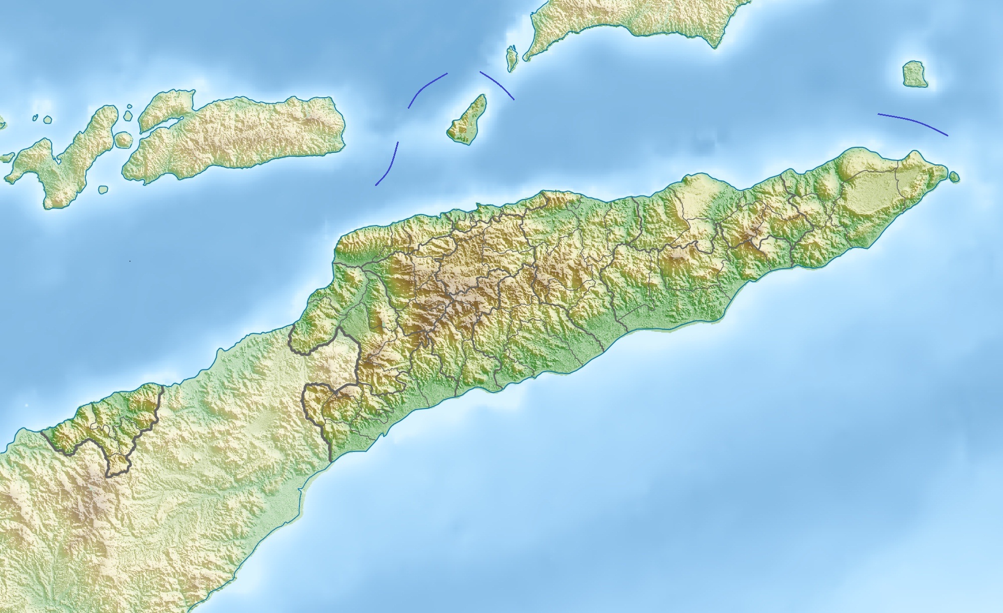
Deutsch: Physische Positionskarte von Osttimor, Grenzen von 2003–2015
Quadratische Plattkarte. Geographische Begrenzung der Karte:
English: Physical location map of East Timor
Equirectangular projection. Geographic limits of the map:
|
| ڕێکەوت | |
| سەرچاوە | بەرھەمی خۆم, using map data from administrative map by NordNordWest. The relief was created from SRTM-3 relief data |
| بەرھەمھێنەر | Carport |
| ڕێپێدان (بەکارھێنانەوەی ئەم پەڕگەیە) |
This file is licensed under the Creative Commons Attribution 3.0 Unported license.
|
| وەشانەکانی تر |
Derivative works of this file: Fuiloro Plateau.jpg
|

مێژووی پەڕگە
کرتە بکە لەسەر یەکێک لە ڕێکەوت/کاتەکان بۆ بینینی پەڕگەکە بەو شێوەی لەو کاتەدا بووە.
| ڕێکەوت/کات | ھێما | ئەندازە | بەکارھێنەر | تێبینی | |
|---|---|---|---|---|---|
| هەنووکە | ١٠:٣٦، ١٧ی تشرینی دووەمی ٢٠١٢ | | ٢٬٠٠٠ لە ١٬٢٢٣ (٦٥٧ کیلۆبایت) | Jaybear | Borders between islands marked in reference to the map "File:Vychodni Timor.png"; |
| ٠٩:٢٦، ٢٨ی ئازاری ٢٠١٠ |  | ٢٬٠٠٠ لە ١٬٢٢٣ (٧٤٨ کیلۆبایت) | Carport | {{Information |Description={{de|Physische Positionskarte von {{w|Osttimor|3=de}}}} Quadratische Plattkarte. Geographische Begrenzung der Karte: * N: 7.8° S * S: 10.0° S * W: 123.9° O * O: 127.5° O {{en|Physical location map of {{w|East Timor}}}} Equir |
بەکارھێنانی پەڕگە
ئەم پەڕەی 2ە ئەم پەڕگەیە بەکار دەھێنێت:
بەکارھێنانی سەرانسەریی پەڕگە
ئەم ویکیانەی دیکەی خوارەوەش ئەم پەڕگە بەکاردێنن:
- بەکارھێنان لە ar.wikipedia.org
- بەکارھێنان لە ast.wikipedia.org
- بەکارھێنان لە az.wikipedia.org
- بەکارھێنان لە ba.wikipedia.org
- بەکارھێنان لە bcl.wikipedia.org
- بەکارھێنان لە be.wikipedia.org
- بەکارھێنان لە bg.wikipedia.org
- بەکارھێنان لە bn.wikipedia.org
- بەکارھێنان لە bs.wikipedia.org
- بەکارھێنان لە ca.wikipedia.org
- بەکارھێنان لە ceb.wikipedia.org
- بەکارھێنان لە ce.wikipedia.org
- بەکارھێنان لە cs.wikipedia.org
- بەکارھێنان لە da.wikipedia.org
- بەکارھێنان لە de.wikipedia.org
- Osttimor
- Jaco (Osttimor)
- Liste der Städte in Osttimor
- Geschichte Osttimors
- Tatamailau
- Matebian
- Benutzer:J. Patrick Fischer/Nützliches
- Cablac
- Vorlage Diskussion:Infobox Berg/Archiv/1
- Vorlage:Positionskarte Osttimor
- Kisar (Indonesien)
- Ira Lalaro
- Maubarasee
- Tasitolu
- Monte Mundo Perdido
- Leolaco
- Wikipedia:Kartenwerkstatt/Positionskarten/Asien
- Curi (Berg)
- Paitchau
- Benutzer:Carport/Galerie
- Legumau
- Straße von Ombai
- Straße von Wetar
- Liran
- Laritame
بینینی بەکارھێنانی گشتی زیاتری ئەم پەڕگەیە.